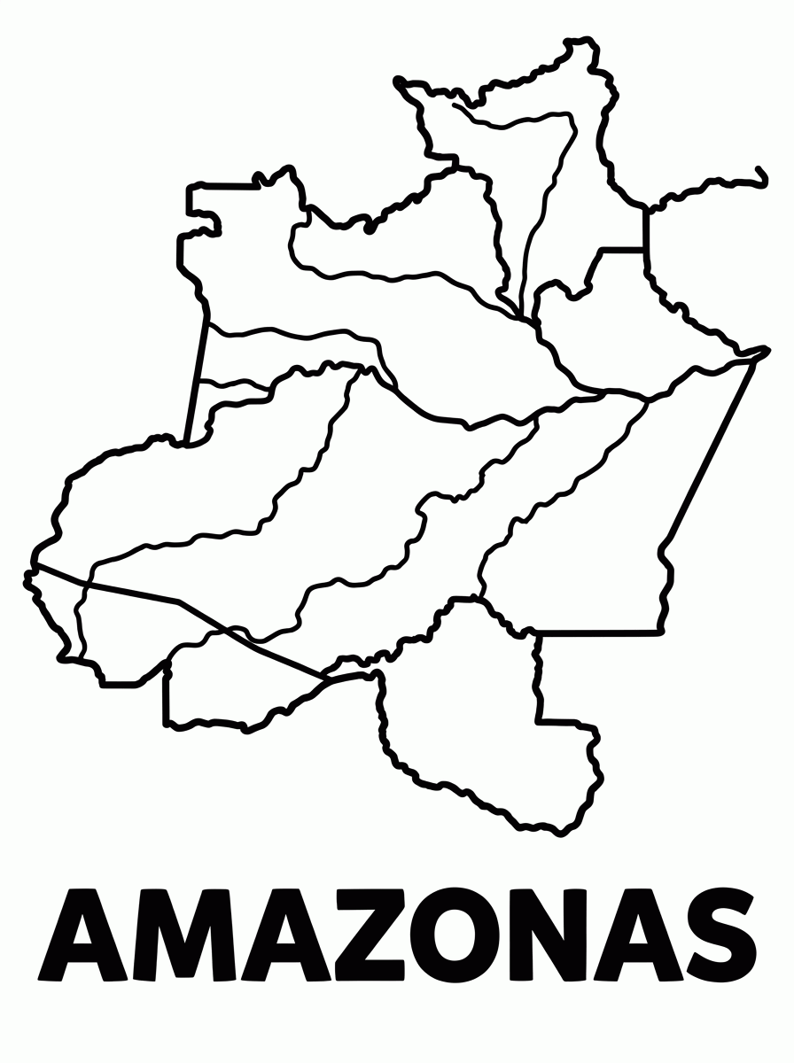
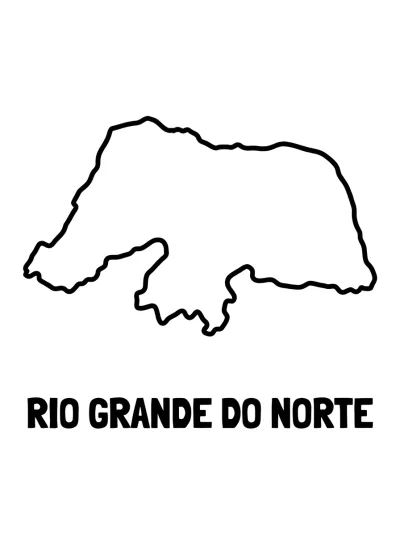
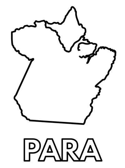
Amazonas State Map coloring page
Map of the state of Amazonas, the largest in Brazil, to color and print for free. A drawing to color.
Frequently asked questions about the Amazonas State Map drawing
How do I print the Amazonas State Map coloring page?
It's easy: click the Print button and choose A4 size with minimal margins. You can also download it as PDF or PNG and print it whenever you want, as many copies as you need.
Is the Amazonas State Map drawing free?
Yes. All Brazilian State Maps coloring pages on Cooloria are 100% free to print and color at home, at school or at daycare.
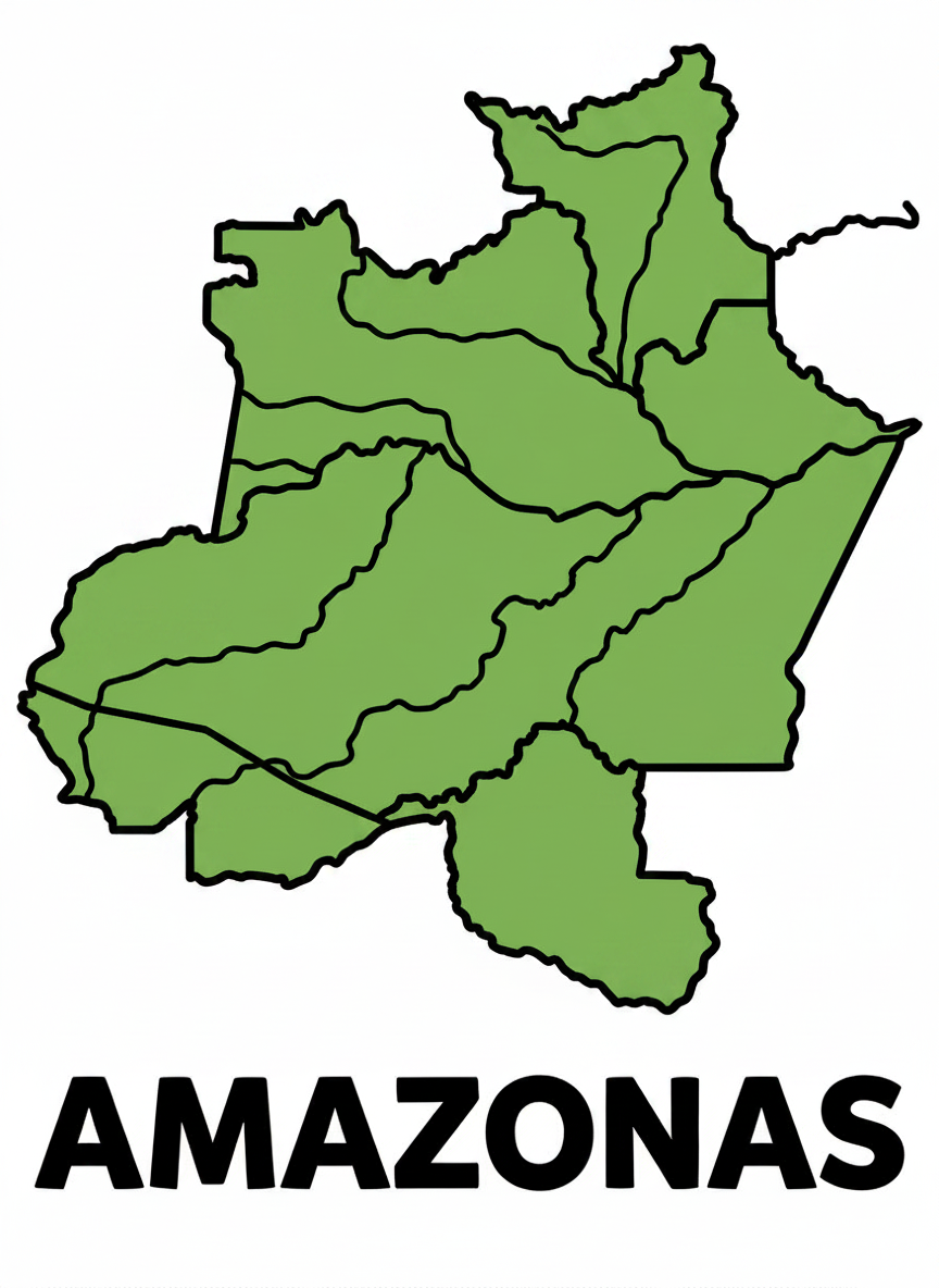
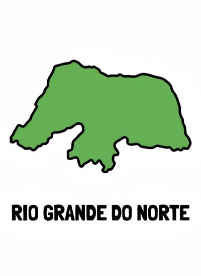
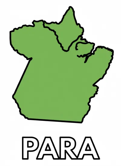
Is there a colored version of Amazonas State Map to use as a reference?
Yes! Tap "Show color reference" to see the colored version of the Amazonas State Map drawing and use it as a painting guide — it can even be printed as a small thumbnail in the corner of the page.
What age is the Amazonas State Map drawing recommended for?
The Amazonas State Map drawing is recommended for children from age 3, thanks to its large, simple lines. Coloring helps with motor coordination, focus and creativity.
0 comments
Sign in — Sign in or create a free account to comment.
Be the first to comment on this drawing! 💬